
MAD_DEVELOPER| From Curious Minds Come Helping Hands
Team Updates
how app is analyzing data?
satellite is continuously keeping an eye on the rain precipitation, tectonic faults, bed rock and hill steep. when a user request for search analysis, data is obtained from the satellite then using digital image processing it converts the image into some kind of scale of 0-5 or 0-10. then it give rating. now rating is used to calculate risk percentage by formula "risk percentage=(total sum of scales)*(25/100)" where 25 is the maximum scale that can occur.
S
Shams Tabrez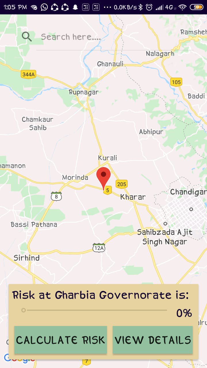
risk analysis at live location
S
Shams Tabrez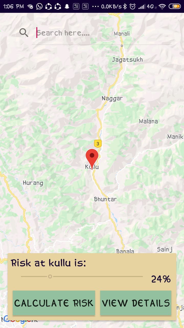
result search bar
S
Shams Tabrez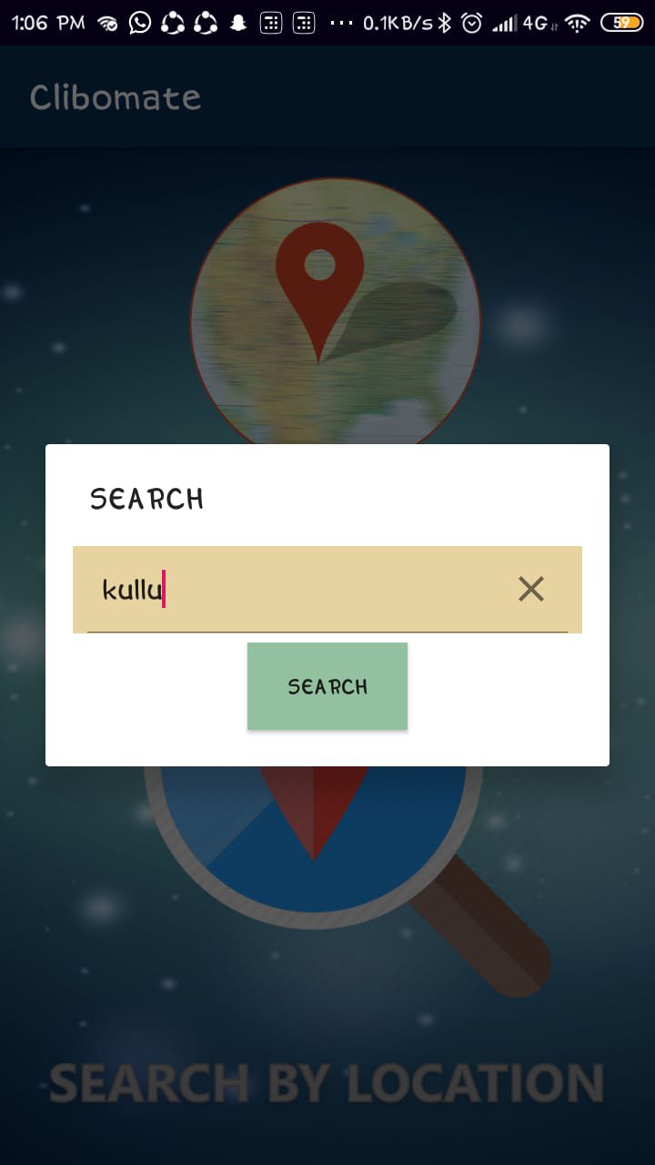
search bar for search your location
S
Shams TabrezWe have made a rescue button which will activate when risk percentage is more than 70. This will allow user to communicate directly through satellite to the rescue team sending your location in case of emergency even if the internet is not working.
S
Shams Tabrez
Rescue button
S
Shams Tabrez