
Project Details
The Challenge | From Curious Minds Come Helping Hands
SMSave
SMSave allows vulnerable and isolated populations to generate their own data in order to inform local and global organizations and call for help whenever a natural or human environmental threat happens.
Background
The modern world is becoming a sensorized world where data is ubiquitous: our phones, smart devices, watches, cars, etc; even from public places given that our cities are becoming smart cities thanks to the Internet of Things, the evolution and cheapening of the computing resources and devices, and the progressive implementation of these technologies by more and more companies.
Data is a powerful resource that can tell us a story about those who generated it. However, the major part of our available data comes from developed places where humanitarian aid is not needed. Vulnerable regions are not generating enough data to let the world know their story: what are their problems, how can they avoid preventable environmental hazards, what factors are affecting their entire regions, etc.
Just like the challenge itself points out, it is known that approximately 25% of human death and disease globally is linked to environmental hazards, which increases to 35% in particularly vulnerable regions like sub-Saharan Africa. So, how can we help this regions where the data is not available at all? Would it be possible to create new data sources in order to prevent some of the environmental hazards, keep the population informed and avoid major disasters and therefore reducing the number of deaths? Can we use this new data not only for humanitarian reasons but also to help the decision making of local or regional authorities?
Data shows how developing countries are increasing exponentially the number of people who have a mobile phone (79%). However, even with phones, most vulnerable regions do not have internet access yet, which led them to experience an SMS revolution where it is used for facilitate economic transactions, to analyze information, and even to improve medical systems. Mobile phones are making everything possible in developing societies that are starting to use the available technology as their enabler to solve real problems.
Problem Summary
The most vulnerable regions to environmental hazards from developing countries are not generating data that humanitarian and development organizations could use to aid these areas.
Proposed solution
The main idea of our approach is to generate data from those places where data is scarce. A problem arises: how can we know if the data is trustful? SMSave provides a cross validation solution based on different metrics. The basic ones are: time (when the messages occurred), distance (where the messages happened) and similarity (what those messages are talking about); and for those messages that describe a more complicated situation such as plagues, food pollution, etc; a more complex system is needed. In this point is where real-time data from NASA takes action. The idea is to validate the environment hazards that are actually visible through satellite. In the case that the messages are not contrastable another approach is used. Using the big databases of natural and human hazards that already exist, it is possible to clarify by a threshold if the message is reliable.
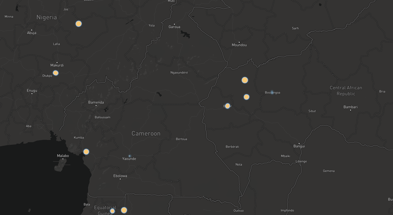
Once the data has been obtained and validated it is easy to display and visualize on a map.

Robonauts propose an innovative solution where each person can be a data generator by sending messages through SMS or chats such as Telegram, online chatbots (like in our website: http://35.195.87.153) and others.
A user would send a message either to a chatbot on a website or send an SMS with a text explaining its problem, for instance: ‘There’s no water on the river and I can’t grow my plants to eat’.
This message would be analyzed by the validation layer that is composed of two elements: on the one hand the satellite data provided by NASA will allow os to validate certain environmental hazards such as droughts, landslides, deforestation, etc; on the other hand the machine learning algorithm (we are using Google’s Natural Language tool) would analyze the message and extract all the important information such as entities, categories and sentiment analysis (when we gather several messages of the same category).
Once the message is completely analyzed and validated in its own context, we would store this information and display it in a creative and useful way so the humanitarian and development organizations could get the most value from, and so other users, since we would also want to create a public API so anybody could create new solutions from it.

At this point it is feasible for the organizations to provide aid to the locations that most need assistance.
Challenges Faced (under construction...)
- Reaching the people
- Missing data
- Validating the data
- Data handling and compression
Resources (under construction...)
Please ensure to include a list of resources your team used.
- Datasets
- Articles
- Tools