
Team Universe| From Curious Minds Come Helping Hands
Project Details
The Challenge | From Curious Minds Come Helping Hands
Environmental Earthquake Identify
Our Project Name is Environmental Earthquake Identify joined by Nasa space apps challenge 2019. The concept of our project is to design and build an innovative platform to integrate satellite data and information about environmental hazards.
Environmental Earthquake identify Project design and build an innovative platform to integrate satellite data and information about vulnerable populations and environmental hazards in order to identify the most at-risk populations. It fits with the category & sub category because that we are LIVING IN OUR WORLD and our world occurred many environmental problem.My project is for Environmental hazards Earthquake and Cyclone how to produce and how diseases in world population.
Hazards are wide ranging and can include single hazards such as cyclones and earthquakes, or more complex and cascading hazards, such as famine linked to drought, crop failure and population imbalances, or landslides and flash floods impacting development in insecure locations.
Our project design this problem can be advance protect this hazards population in world.
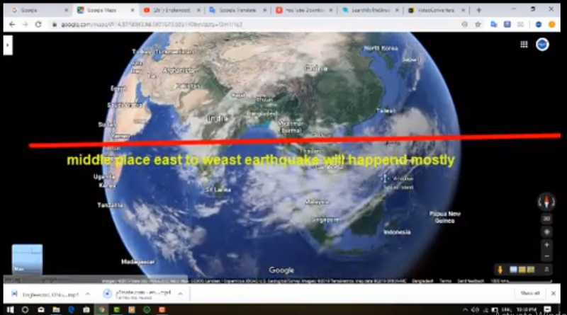
1.) With this project, we can easily detect earthquake locations before at least 6 month earlier.
2.) With this project, we can easily identify where the temperature of the earth can rise and tell when the fire is going to happen.
3.) By this project we can told before minimum 6 month ago where will be occured Earthquake and Tsunami.
4.) This project can be said long ago, when and how much earthquake can occur.
5.) With this project, it can be said long ago that people on earth are protected from the Tsunami and Earthquake.
6.) Be tailored to a specific environmental hazard vulnerability faced by a particular region, or based on global environmental hazards that make it scalable to any location.
7.) By our project we can analysis and we can told which country people will hazards and which disease will occured in people from environmental hazards.
8.) Our earth people how to safe from Environmental hazards.
Github Link: https://github.com/nasaamirul
Data Source:
1.) https://svs.gsfc.nasa.gov/cgi-bin/details.cgi?aid=4750&button=recent
2.) https://svs.gsfc.nasa.gov/1295
3.) https://svs.gsfc.nasa.gov/cgi-bin/details.cgi?aid=4751&button=recent
4.)https://www.google.com/maps/@-26.4679597,-131.1654446,15890542m/data=!3m1!1e3