
Ubique| Rise to Resilience!
Project Details
The Challenge | Rise to Resilience!
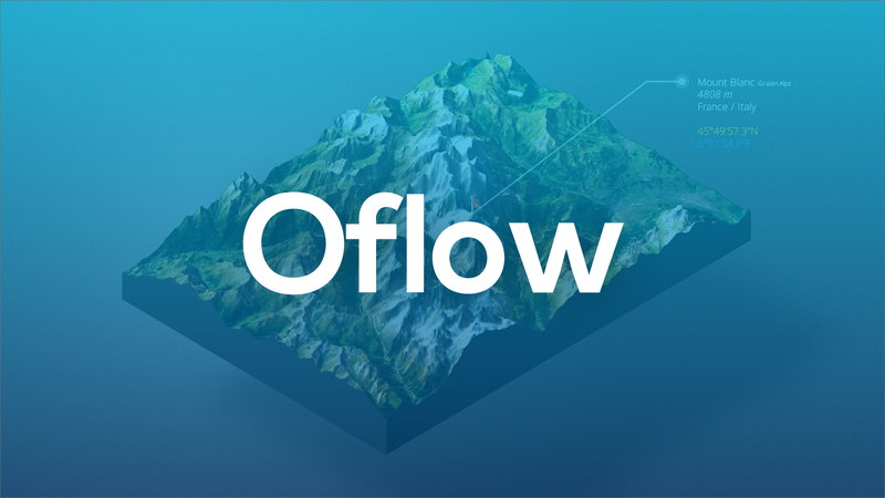
Oflow
Oflow is a GIS (Geographic Information System) designed to help the state authorities understand about potential floods in their area beforehand and to understand what are the right actions that must be taken, in order to avoid casualties.
Background
We are living in an era, dominated by one natural phenomenon - the enormous changes in the climate. The global warming is so enormous that people cannot manage to deal with the problems it provides. One of these overpowering difficulties is the increasing amount of floods everywhere - even at places that have never dealt with such problems before. Our application - Oflow is the solution for these problems. With the help of drones, that have 3D sensors attached to them, the users will be able to create a 3D map of a certain region. This 3D map will be imported into our application. With the help of NASA`s weather API, information about the precipitation for several days ahead at that particular location will be available. Thus, the application will be able to evaluate a potential level of danger for the nearby population or arable area of being flooded. After evaluating the levels of danger, it will provide the authorities using it useful tips for preventing casualties - for example closing roads, evacuating the nearby towns or creating dikes.
For the creation of our application, we used the following software and techniques:
- C# programming language
- Unity Game Engine
- Photoshop
- Adobe XD
- 3D Map Generator's HeightMapper