
418 we're teapots| Set Your Sights High!
Project Details
The Challenge | Set Your Sights High!
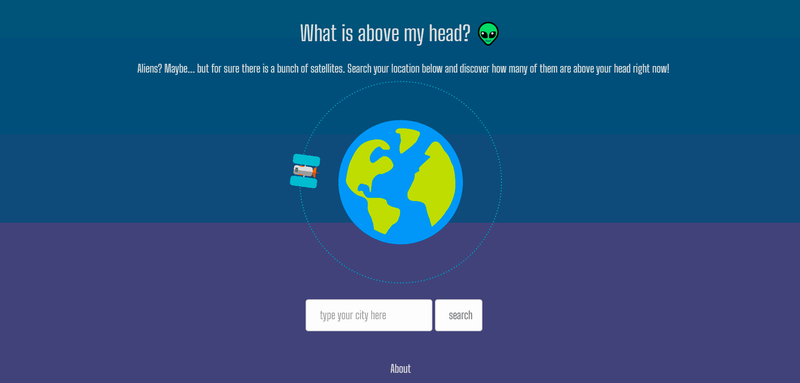
What is above my head?
We want to rise the awareness of the lots of satellites right above us. We all use apps which need satellite data, but have you ever wondered how many of them are next to your location? Or how many are around earth at all? Discover it with our project.
This is an Angular and Node.js project we built! We had an inspiration when we searched the huge amount of existing satellites around the Earth and we also downloaded the Earth Now app and found it amazing.
So, our main thought was to send a link to this webpage to our friends as a "did you know" thing. Using TLE API from NASA to gather the localization of the satellite and bind with the localization of the city/address searched in the input, we can discover the satellites above our heads. We've used Places and Geolocation APIs from Google Cloud Plataform, a great sponsor from Space Apps which really helped us.
For us, the most interesting thing was to learn how we could do it and have lots of tools for it! We loved to discover the NASA databases and resources. Working with the APIs provided by Google Cloud was a great experience! We would never imagine these tools were available and so useful.
Sadly, we couldn't finish it on time. Our actual struggle is to get the localizations (latitude and longitude) of a radius of a searched city/adress. But we'll still work on it until it's finished and deployed! You can check out the project's repository here: https://github.com/OdinNoSauro/spaceapps-2019
#angular #web development #dev #node #javascript #satellite #earth