
Need Another Seven Astronauts| Set Your Sights High!
Project Details
Awards & Nominations
Need Another Seven Astronauts has received the following awards and nominations. Way to go!
The Challenge | Set Your Sights High!
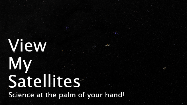
View My Satellites
View the satellites that orbit around Earth in a simple and interactive way. View more information about satellites and learn about them. View the Earth from the satellite's perspective. Science at the palm of your hand!
Introduction
Hi! We're NA7A (Need Another Seven Astronauts). We're 5 Computer Science and Computer Engineering 4th year graduates. This year, we decided to take part on the NASA Space Apps challenge to have fun as a team and to put into practice everything that we've learnt in our degree. After a lot of brainstorming, we decided to develop a mobile app so that people could have space in their pocket. Our main motivation for us to sign up to the Space Apps challenge was solving a real problem with a space or Earth related theme that could be useful at a broad social level.
Our project
View My Satellites is an augmented reality mobile application that shows space satellites and provides information about them in an interactive way. In particular, we decided to show the world how space looks from our planet's perspective. For this purpose, during the development of the app, our main intention was giving information about satellites that are currently orbiting around Earth. Given that the distances between some satellites that orbit Earth and Earth itself are enormous, we decided that satellites would be shown at the same distance around the user, with variations in size to denote the distance at which those satellites were. By doing so, we are able to create a sphere completely packed with satellites, and every single satellite is distinguishible among the others. In terms of representation fidelity, we've used vector math to accurately represent the satellites position even though we've brought them closer (following our motto, bring space closer to the user).
The details
All our source code is located in GitHub, open to everyone:
https://github.com/enrique-torres/SpaceApps-Unity
The app requires the satellites' coordinates to position them in space. We use the given Two-line Set (TLE) [1] of every single satellite to achieve this. The TLE contain technical information about the satellite, which allows us to calculate its approximate position in space by using the satellite's launch position and its time in space. This calculations can sometimes be very imprecise if the TLE is not updated. As a solution to this imprecisions, we decided to use supplementary TLEs from the NORAD webpage [2], that have been calculated from older TLEs, and reduce the possible error. This gives us a precise position in space for the satellite. We've used PyEphem library [3] for this calculations.
There are a lot of coordinate systems used for space related science. This project uses geodetic coordinates (mainly to position the user via GPS) and the Earth-Centered, Earth-Fixed (ECEF) [4] system, that positions the satellites in respect to Earth's position. This conversion between bases is done via the pymap3d library [5].
Finally, the sun's position is also adjusted in real time. The library PySolar [6] returns the Sun's altitude and azimuth for a given point in Earth. This information is then translated into a direction in the ECEF system, that allows the app to project a directional light towards Earth.
Our application follows a client-server architecture. All the information is calculated in the server side and is given to the client through a REST endpoint. The client has been developed with the Unity 3D engline, which uses C#. The client is responsible of redering the 3D scene to the user from the data received. Unity 3D allows the compilation of the application for most mobile devices. This app uses 3D models created and provided by NASA [7].
- https://en.wikipedia.org/wiki/Two-line_element_set
- https://www.celestrak.com/NORAD/elements/supplemental/
- https://pypi.org/project/pyephem/
- https://en.wikipedia.org/wiki/ECEF
- https://pypi.org/project/pymap3d/
- https://pypi.org/project/Pysolar/
- https://nasa3d.arc.nasa.gov/models
Future applications
Viewing the satellites is just the beginning, our application can allow the user to do a lot more. One of the things that caught our attention was the amount of space trash that has been accumulated over time in space. In the future, one of the things that we would like to add to the application would be differentiating between space trash and actual devices, with more 3D models for different kinds. We are working in showing more information about the satellite in a friendler way, like the satellite's purpose, orbit time, etc. With more development time, we could show rocket launches in real time through the application, showing the user the rocket's position in real time, or also allow the user to launch its own satellites to space and predict its orbit.
Thank you for your attention!