
GlobalPoint| Show the World the Data!
Project Details
The Challenge | Show the World the Data!
NASA’s open data sources hold an abundance of imagery. Mapping that imagery to a digital globe makes the data interactive and may enable people to discover relationships among ecosystem phenomena. Your challenge is to develop a digital globe web-app that visualizes Earth science data using NASA’s Web WorldWind.
Global Point - From NASA with LOVE
GlobalPoint is an attempt to visualize NASA's imagery on the WorlWind in an interactively manner.
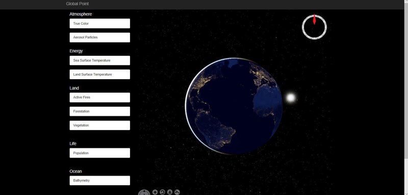
The system has been developed in the visual studio medium using JavaScript as programming language and deployed in the cloud using Azure Platform. The goal is to be able to provide users with a platform such that they can visualize earth science data and relate to the ecological system.