
Project Details
The Challenge | Show the World the Data!
NASA’s open data sources hold an abundance of imagery. Mapping that imagery to a digital globe makes the data interactive and may enable people to discover relationships among ecosystem phenomena. Your challenge is to develop a digital globe web-app that visualizes Earth science data using NASA’s Web WorldWind.
Project MAVEN
Project MAVEN is an immersive virtual space that make use of the NASA GIBS (Global Imagery Browse Services) data and represent the relationships within an interactive system.
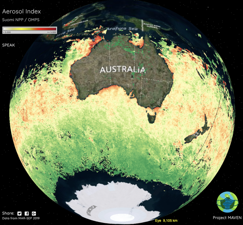
Project MAVEN is an immersive virtual space that make use of the NASA GIBS (Global Imagery Browse Services) data and represent the relationships within an interactive system. We took the Atmosphere data and displayed in the Map. Using this map user can see the air pollution status anywhere in the world.
Features:
- Talk with MAVEN: Move anywhere in the map and find atmospheric information using Voice Command.
- Fly with MAVEN: Fly anywhere in the space and explore the atmospheric data using hand gestures
- Share with MAVEN: Using MAVEN you can capture any specific region image and share in social media.
Technology Used:
- NASA GIBS (Global Imagery Browse Service) data source
- NASA WorldWindJS
- Leap Motion SDK
- JavaScript
- Speech Recognition SDK
- linkr
- Instagram API