
GalacticTurtles| Spot That Fire V2.0
Project Details
The Challenge | Spot That Fire V2.0
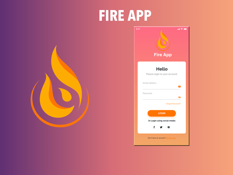
FireApp
Development of mobile application that aims to report and detect in a simple, simple and effective way fires that can occur anywhere in the world.
639/5000
Background
Navigating through the free data offered by NASA, we found a page where we could obtain many datasets with data about the different fires that have occurred around the world in recent days.We decided to process this data [1] to see it on a map using the python library folium and we were surprised by the amount of fires that were in a short time.
Thousands of hectares of lost forests, hundreds of dead and affected people, animals displaced from their habitats. Can you believe that all this is caused by a fire? it was there when we decided to take action, and look for a solution that could help to quickly notify people about the fires that were happening, and offer immediate help in case they needed it.
That's how "FireApp" was born...
FIREAPP!!
FireApp is an mobile application that gesture and helps control fires by broadly allowingusers to participate in their mitigation,either reporting the fires through photos orvideos or being a first aid volunteer. The support that it gives are characterized to dothe next:
- Report a fire: By uploading pictures andvideos of near fires.
- Verifying citizen fire reports:Verifywhether a picture/video is fire-related using amachine learning method of Keras andTensorFlow libraries.
- Notify related people:Notify aboutfires to nearby users, fire departments andhospitals, allowing them to take actions
- Design rescue paths:Mark on maps acustomized way to a safe area like hospitals ormedical centers.
- Promote volunteering: Between peoplewith knowledge on medical area.
How did we do it?
We program our application in Android Studio [2], here we design the prototype of the application, and we implement functions of our application such as the recognition of fires in a photo, find the fastest route to hospitals and health homes, the quick contact with entities that can offer help to the affected people, and others.
In order to obtain fire recognition on an image we use machine learning with the python's libraries tensorflow and keras [3], where we train a model with 2500+ images to aim that the model can classify if an image contains fire, smoke, or is a normal image.
References
[1] Github repository: https://github.com/AlexVelezLl/IncendiosEcuador
[2] Github repository: https://github.com/eljosephavila123/Fire_App_Nasa_
[3] Github repository https://github.com/eljosephavila123/DetectingFireML