
Los Eclipsados| Surface-to-Air (Quality) Mission
Project Details
The Challenge | Surface-to-Air (Quality) Mission
Your challenge is to integrate NASA data, ground-based air quality data, and citizen science data to create an air quality surface that displays the most accurate data for a location and time. Create algorithms that select or weight the best data from several sources for a specific time and location, and display that information.
AirWatcher
AirWatcher App shows air quality data of several data sources. User has a setting page to select its desired quality, its work place and other settings.
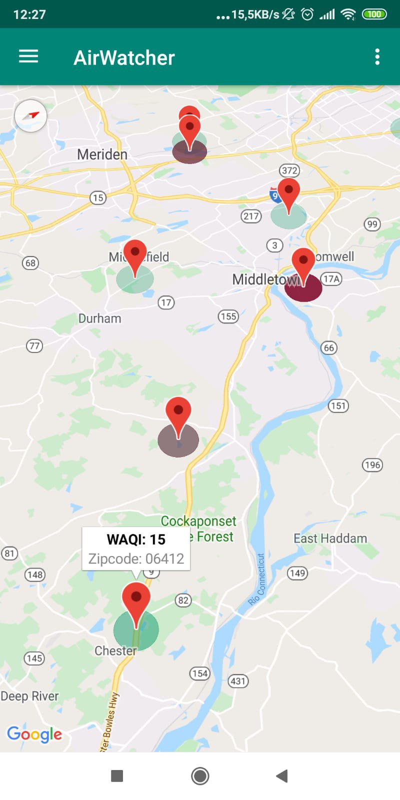
We have used two APIs: https://waqi.info and https://docs.airnowapi.org/
We had the challenge to adapt webservice input format. One of the is for latitude and longitude, and a the another uses zipcodes.
The main goal was to make this kind of informations available for people in countries where the pollution of the air is dangerous for them. The idea of turning the website information into mobile formar since, at this moment, there is more people using their phones to access the internet rather than his computers.
Future steps will be add more data sources and offers forecasting using machine learning.
Github: https://github.com/joseavalero/airwatcher/
Other resources:
Graphip librery, https://github.com/PhilJay/MPAndroidChart#
Google Maps API.