
Team Updates
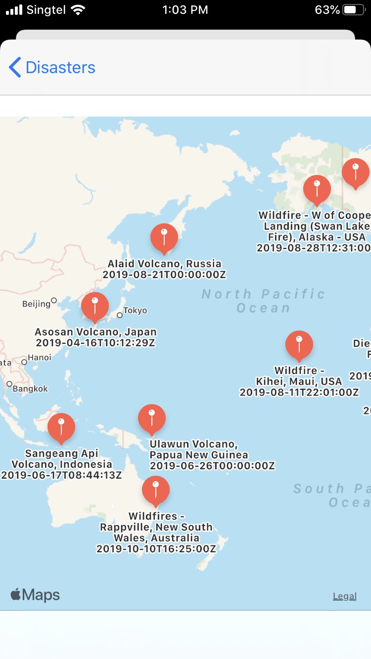
Heatmap of disaster occurence locations
K
Khmer Tootz ReyesWe have created an app, which showcases the data on disasters we have gotten from NASA as a map. We aim to analyze more data on disasters and use that information to find silver lining from disasters.
An example of the use of data of disasters to combat global warming is to analyze the data to find most disaster prone area according to categories. we want to use those locations to find where it would be most efficient to harness renewable energy from these high potential disasters like earthquakes, floods, storms and etc..
K
Khmer Tootz ReyesS
Sherene SohaiS
Sherene SohaiOpen Air Quality : https://docs.openaq.org/
K
Khmer Tootz ReyesNASA data : https://eonet.sci.gsfc.nasa.gov/docs/v2.1
K
Khmer Tootz Reyes