
Social Enthusiasts| Smash your SDGs!
Team Updates


We, the 'Social Enthusiasts' team, through our 'Design for Constraints' philosophy, are passionate about innovating solutions around the societal problems and building applications for the greater good of the society.
Due to climate change, weather patterns have become very unpredictable. This is impacting the productivity and putting food security at danger. Especially, in developing economies, more than 98 percent are small holder farmers and due to lack of access to timely information are most vulnerable to the vagaries of climate and also not having access to modern practices that are sustainable.
Our solution 'Kisan Saathi' gives automatic alerts to farmers based on long term and short term weather pattern changes that gets learnt over time and help them to cope with weather pattern changes more intelligently.
In addition, we also use specific integrated nutrient and pest management steps just in time for each crop type and region.
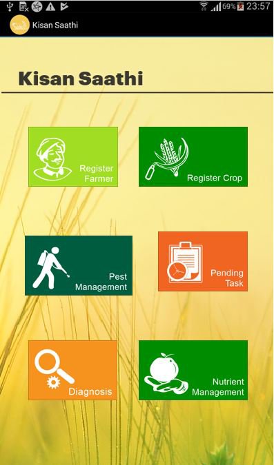
Our solution is basically an agro-agent driven application that enable him to hand-hold the farmers throughout the entire life-cycle of the crop. Upon registering a farmer and a crop, our application provides a detailed 'package of practice' plan along with dates, for all the activities to be done from sowing to harvest.
And for the weather data, we leverage on NASA and other sources like 'DarkSky' and feed it to our time-series database. While the historic data is used for devising a generic schedule, the latest data will be used for the fine-tuning.
And by using NASA's earth imagery APIs, periodically collected over multiple-years, and applying the 'Normalized Difference Vegetation Index' techniques, we measure the 'Vegetation Index' and detect the rate of depletion of 'Green Cover'. As scope for future work, we would like expand our work to develop an automatic warning system to warn the local authorities, insurance authorities and farmers about this local defortestation so that corrective actions can be taken.
Similarly, by comparing the nocturnal(night) satellite imagery over a period of time, we would like to detect the rate of urbanization.
| var message = ' {{.Level}}: Rain Monitoring Alert ' | |
| var details = 'Hi,As per todays weather forecast it appears that it may rain for next three days in Tumkur.Hence please update your package of practices plan for farmers of Tumkur accordingly.' | |
| stream | |
| |from() | |
| .database('weather') | |
| .retentionPolicy('autogen') | |
| .measurement('dailyWeather') | |
| .where(lambda: "precipType" == 'rain' OR "icon" == 'rain') | |
| |eval(lambda: "temperature", lambda: "humidity", lambda: "windSpeed", lambda: "summary") | |
| .as('temperature', 'humidity', 'windSpeed', 'summary') | |
| |log() | |
| |alert() | |
| .crit(lambda: TRUE) | |
| .message(message) | |
| .details(details) | |
| .id('RAIN ALERT') | |
| .email() | |
| .to('sureshbtech45@gmail.com') | |
| |log() |