
NoFire App| Spot That Fire V2.0
Team Updates
| varmymap=L.map('mapid').setView([-1.004209,-78.580964],8); | |
| L.tileLayer('https://maps.wikimedia.org/osm-intl/{z}/{x}/{y}.png',{ | |
| attribution: 'Map data © <a href="https://www.openstreetmap.org/">OpenStreetMap</a> contributors, <a href="https://creativecommons.org/licenses/by-sa/2.0/">CC-BY-SA</a>, Imagery © <a href="https://www.mapbox.com/">Mapbox</a>', | |
| maxZoom: 18, | |
| id: 'mapbox.streets', | |
| accessToken: 'your.mapbox.access.token' | |
| }).addTo(mymap); |
| exports.findByNear=function(req,res){ | |
| // Grab all of the query parameters from the body. | |
| varlat=req.body.latitude; | |
| varlong=req.body.longitude; | |
| vardistance=req.body.distance; | |
| varreqVerified=req.body.reqVerified; | |
| // Opens a generic Mongoose Query | |
| FirePoint.find({ | |
| coords: | |
| {$near : | |
| { | |
| $geometry: {type: "Point",coordinates: [lat,long]}, | |
| $maxDistance: distance | |
| } | |
| } | |
| },function(err,locations){ | |
| // console.log(locations); | |
| console.log(err); | |
| if(err){ | |
| res.json({ | |
| error: err | |
| }) | |
| } | |
| res.json({ | |
| fireps: locations | |
| }) | |
| }); | |
| console.log(distance); | |
| }; |
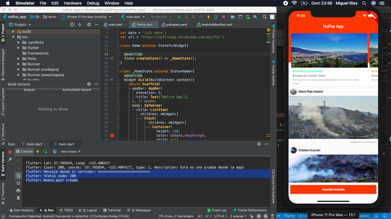
NoFire is a predictive app to prevent fires, the proposal is launch notifications to controlling entities and general users in a specific perimeter in which a fire could start. Our predictive model obtain 2 important variables, the history of incidents in a specific area, and the current temperature in the same area to cross it and create the probability of a new incident.
The way to communicate to this users are a Web and a Mobile App. With mobile app, the general users can get the notifications, is important that this users set GPS permissions to the info can be filtered. Also, they can send info and media as report of a incident. The controlling entities can send specific info, post or delete the info sended for users, and control the info generated by AI of app.